
Point Cloud Processing
LiDAR scans, structured-light point clouds, and photogrammetric data converted into precision CAD drawings in DWG or DXF. We work to your required scale, layer standards, and coordinate system, with remote delivery and full QA on every project.
Estimate within 48 hours
Full geometric QA on every file
DWG, DXF, PDF output
Common Pain Points
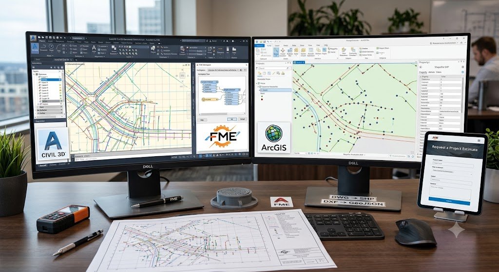
Firms that capture or receive point cloud data consistently hit the same bottleneck: getting from raw scan to a usable CAD drawing takes specialist skill, the right software stack, and time that most in-house teams don't have.
Scan Data Sitting Unused
LiDAR or structured-light scans collected on site but nobody available to process them into deliverable CAD drawings. The data ages while the project waits.
No In-House Scan-to-CAD Specialist
Point cloud to CAD conversion requires specialized software skills in platforms such as ReCap, Cyclone 3DR, and Civil 3D. Most general CAD teams do not have this expertise, and hiring specialists can take months.
Scale and Accuracy Requirements
Engineering drawings at 1:100 or 1:250 require sub-centimetre accuracy from point cloud data. Manual extraction without validated pipelines produces errors that fail QA.
Layer Standard Compliance
CAD output must match your client's layer naming, line weight, and block structure. Generic scan-to-CAD tools ignore these requirements and create rework.
Mixed Scan Formats
Point cloud data can arrive in RCP, RCS, E57, LAS, LAZ, or PTX formats, each requiring different processing before CAD conversion. Managing these different formats can slow down the entire workflow.
No Visibility on Progress
Outsourcing scan-to-CAD drafting to generic providers can mean long waits and no interim files. You may only see the final output at the end, with corrections often costing extra.
What We Do
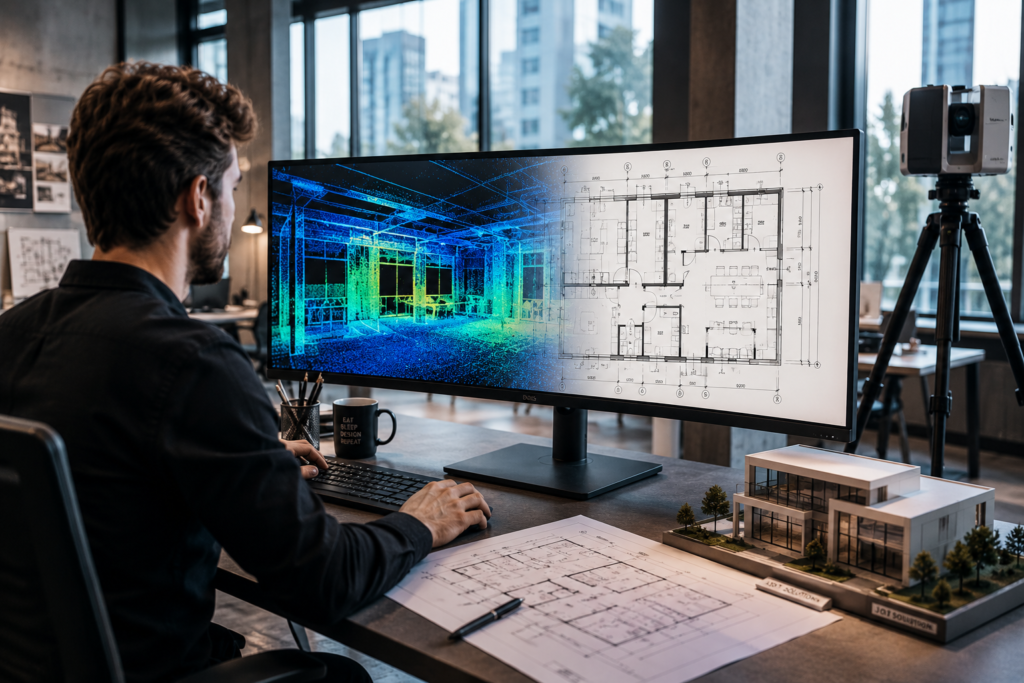
Scan-to-CAD converts 3D scan data from LiDAR, structured-light scanners, or photogrammetry into editable 2D or 3D CAD drawings in DWG or DXF format. The result is a precise engineering drawing that can be used directly for design, permitting, and construction without manual measurement.
From Raw Data to Engineering-Ready DWG
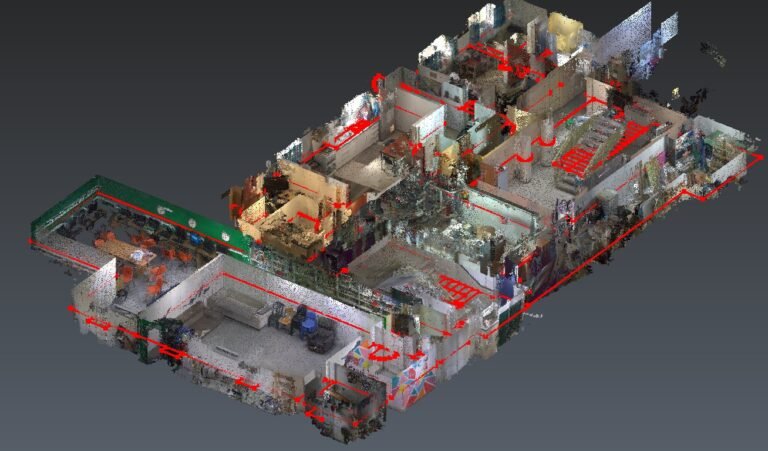
A point cloud is a collection of millions of measured 3D coordinates representing the geometry of a scanned object or site. Point cloud to CAD conversion extracts the relevant geometry and turns it into precise 2D or 3D CAD elements such as lines, arcs, polylines, surfaces, and dimensions, all structured and attributed for engineering use.
All Major Point Cloud Formats Accepted
We accept standard point cloud formats including RCP, RCS, E57, LAS, LAZ, PTX, FLS, and XYZ. We also process structured-light scan data from Leica BLK, Matterport, and Artec scanners, as well as photogrammetric point clouds from Agisoft Metashape and DJI Terra. No pre-processing is required. We can handle classification and registration directly from the raw files.
Any Object Type, Any Scale
Our scan to CAD drafting services cover the full range of engineering applications: architectural as-built floor plans and facades at 1:50–1:100, topographic and site survey plans at 1:250–1:500, infrastructure corridor drawings, underground utility plans, and industrial facility layouts. Output is always native AutoCAD DWG, matched to your layer standard and coordinate reference system.
We Process — You Supply the Data
We are a remote, office-based point cloud to CAD team and do not conduct on-site scanning. You provide the scan files, whether captured in-house or by a third-party surveyor, and we produce the CAD drawings. This makes our service a direct extension of your survey workflow without mobilisation costs.
Services Included
Our scan-to-CAD services cover everything from single facades to full infrastructure corridors. We deliver the drawings in the format and layer structure required by your project.
Point cloud to CAD conversion for architectural applications, including interior floor plans, ceiling plans, building elevations, and section drawings at 1:50–1:100. Window and door schedules, room areas, and structural annotations can also be included.
Raw LiDAR and drone survey data converted into full topographic engineering plans at 1:250 or 1:500. Outputs include contour lines, TIN surfaces, spot heights, and drainage features in native Civil 3D format.
Detailed architectural facade drawings created from structured-light or LiDAR scan data. Drawings can be colour-coded by element type, including glazing, structure, and cladding, with accurate elevation markers, window dimensions, and sill and lintel levels.
3D scan-to-CAD conversion for excavation projects, with point cloud data processed into section profiles, cut-and-fill drawings, and volume calculations for foundation and earthwork planning.
Scan-to-CAD drafting for regulatory submissions, with complete drawing packages at 1:100–1:500. Packages can include north arrows, legends, scale bars, title blocks, and coordinate grids.
Technology Stack
Our scan-to-CAD engineers handle the full processing chain, from raw point cloud registration to final DWG delivery, across leading industry platforms.
Point Cloud Registration
Importing, registering, and cleaning raw scan files before extraction. Accepts RCP, RCS, E57, LAS, LAZ, PTX, FLS.
Autodesk ReCap
Leica Cyclone
Feature Extraction
Extracting geometry such as walls, floors, edges, and surfaces from point cloud data for CAD drafting.
TerraExplorer
CloudCompare
CAD Drafting
Producing final 2D DWG drawings with your required layer structure, block placement, annotations, and title block standards.
Civil 3D
AutoCAD
Photogrammetric Input
Processing drone imagery to point cloud for subsequent point cloud to CAD conversion on site survey projects.
Agisoft Metashap
DJI Terra
Surface Modelling
TIN surface creation, contour generation, point cloud to CAD model derivation, and earthwork volume extraction from classified point cloud data.
Civil 3D
Revit
Quality Assurance
Geometric verification of extracted CAD elements against the source point cloud, including dimensional tolerance checks at every delivery stage.
AutoCAD
ReCap
Automation Advantage
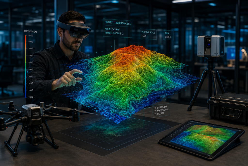
Manual point cloud to CAD conversion involves repetitive tasks such as point classification, layer assignment, symbol placement, and contour generation. Our JOT Complex Plugin automates many of these labour-intensive steps. Scan files that could take a drafter two days to process manually can be completed in hours while maintaining geometric precision.
For large projects with multiple scan stations or recurring deliverables, we build project-specific AutoLISP scripts to batch-process geometry extraction and layer assignment. This makes each subsequent delivery faster and more consistent.
J.O.T Complex Plugin
AutoCAD and Civil 3D automation for scan-to-CAD workflows, including automated topographic symbol placement, contour generation from point data, and bulk layer management. These tools can reduce manual drafting time by up to 50%.
J.O.T AutoCAD AI Plugin
Write a plain-language instruction such as “extract all kerb lines from this point cloud view and assign them to layer A-CURB,” and receive executable AutoCAD code instantly. Attach a screenshot to refine the result. No scripting knowledge is required.
Project-Specific Extraction Scripts
Custom AutoLISP routines built around your specific layer standards, block library, and point cloud classification scheme. They can be deployed across all project drawings for consistent and repeatable output.
PROJECT EXAMPLES
Selected outputs from completed projects covering point cloud processing, scan-to-CAD conversion, and as-built drawing production. All work was produced from client-supplied scan data.
What You Receive
Every file from our scan to CAD conversion services is geometrically verified, layer-compliant, and formatted to drop directly into your engineering or permitting workflow.
2D CAD Drawings (DWG / DXF)
Fully editable AutoCAD files with your layer naming, line weights, and block library applied. Native DWG format, compatible with all AutoCAD versions from 2018 onwards.
Point Cloud to CAD Data Package
Extracted geometry files, layer index, and CRS documentation delivered alongside the DWG so your team can verify and extend the drawing independently.
Plot-Ready PDFs
Print-configured PDFs at your specified paper sizes and scales, ready for client review, site use, or regulatory submission without further formatting.
Civil 3D Surface Files
For topographic and site survey projects, we provide TIN surface models, contour lines, and spot heights in native Civil 3D format, ready for design and volume calculations.
Permit Plan Packages
Authority-specific drawing packages at 1:100–1:500, including all required cartographic elements and submission-ready titleblock.
QA Report
Dimensional accuracy log showing sample measurement comparisons between the point cloud source and delivered CAD geometry. Included as standard on all projects.
Revision Round Included
One full revision cycle is included in every fixed-price project. We incorporate your comments and redeliver the revised drawings within the agreed turnaround at no additional cost.
FAQ
Get Started
Stop letting captured scan data sit unprocessed. Send us your point cloud files and receive a fixed-price estimate within 48 hours — with a firm delivery schedule and full geometric QA included.
Remote embedded GIS engineering services for global infrastructure operators. Office-based post-processing, deployed in 1–2 weeks.
GET IN TOUCH
We’ll respond within 48 hours