
CAD Production Services
Precision 2D drafting, AutoCAD conversion, and technical drawing production, delivered by remote CAD specialists integrated directly into your workflow. Engineering-grade DWG and DXF outputs delivered on time, every time.
Estimate within 48 hours
1-month risk-free trial
Onboarding in 1–2 weeks
Common Pain Points
Engineering and surveying firms consistently face the same CAD production bottlenecks. Our CAD drafting services and outsourcing model are designed to eliminate them, with dedicated specialists who understand engineering drawing standards from day one.
Drafting Backlog at Peak Load
Survey data arrives faster than your in-house team can process it. CAD drawings pile up, delaying downstream design and permit submission.
Hard to Hire Qualified Drafters
Finding experienced AutoCAD or Civil 3D specialists takes months. Interim gaps in your CAD drawing services slow the whole project pipeline.
Inconsistent Layer Standards
Drawings from different sources often arrive with mismatched layer names, line weights, and block structures. We standardize these elements to reduce rework and make drawings ready for use.
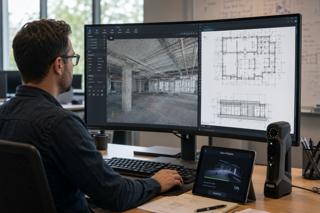
Scan Data Sitting Unprocessed
You have LiDAR or point cloud data but lack the CAD specialists to convert it to production-ready drawings at the required scale and accuracy.
High Cost of In-House Capacity
Maintaining full-time CAD drafters for fluctuating project volumes is expensive. Outsource CAD drafting is often 30–40% more cost-effective.
Legacy Format Conversion
Old PDF blueprints, paper drawings, and raster scans often need to be converted to CAD before they can be used in modern engineering workflows. We handle this conversion so your core team can focus on engineering work.
What We Do
CAD drafting services encompass the production of precise 2D technical drawings, engineering plans, and CAD documentation from survey data, scan data, redline markups, or existing drawings. In an engineering context, this means producing DWG and DXF files that meet the layer standards, tolerances, and compliance requirements of the receiving contractor, planning authority, or client.
Beyond Simple Drawing Production
Engineering-grade CAD drafting is more than placing lines on a canvas. It requires correct coordinate systems, consistent layer naming, accurate block attributes, and geometry validated against real-world survey data. Every 2D drawing we produce is prepared to the standards required by engineers, contractors, and planning authorities.
From Sketch to Submission-Ready Drawing
We offer CAD outsourcing services in two formats: embedded specialists who join your team and work within your tools, standards, and sprint cycles; or fully managed project delivery, where you hand off the scope and receive engineering-ready DWG files at each milestone. Both models use the same pool of vetted CAD engineers and the same QA process.
Full Lifecycle of Spatial Data Processing
Our CAD drawing services cover the full production process, from initial data intake through drafting, QA, revisions, and format conversion. We work with PDFs, point clouds, field sketches, and survey CSV files, delivering final DWG or DXF files that meet your client’s requirements. Services include 2D drafting, as-built documentation, permit plans, and floor plans.
Office-Based from Your Inputs
We are a remote, office-based CAD team and do not conduct on-site surveys or measurements. You provide the source material, such as LiDAR scans, total station data, PDFs, field notes, or photos, and we produce the technical drawings to your required standards and format.
Services Included
Our CAD drafting and outsourcing services span the full range of technical drawing production for engineering, surveying, and construction firms.
Precision 2D CAD drawings produced from survey data, field sketches, redlines, and existing plans. We create site layouts, floor plans, elevations, and sections according to your layer standards and deliver them in DWG or DXF format.
PDF, raster, and paper drawings converted into fully editable CAD files. We handle legacy blueprint digitization, format migration such as DXF to DWG and MicroStation to AutoCAD, and CRS realignment with geometric verification.
As-built CAD documentation created from scan data, site measurements, and annotated PDFs. Architectural floor plans, building elevations, and section drawings are produced at scales from 1:50 to 1:500 and prepared for construction use.
Technical drawing production for infrastructure, civil, and structural engineering projects. We produce permit plans, construction packages, site plans, and topographic drawings at the required submission scales.
AutoCAD-native production for clients who need drawings inside a specific template, XREF structure, or plotting configuration. Block libraries, attribute management, and titleblock setup included as standard.
Ongoing CAD drafting support for firms with recurring technical drawing needs. Services include pipe and cable routing diagrams, utility schematics, coordination drawings, and redline updates, available on an as-needed or retainer basis.
Technology Stack
Our engineers work across a wide range of CAD drafting and technical drawing platforms. They can adapt to your templates, standards, and file structures to fit your project requirements.
Core CAD
2D drafting services, technical drawing production, DWG/DXF output, block and attribute management.
AutoCAD
AutoCAD LT
Civil & Survey
Topographic plans, engineering drawing services, permit plan packages, corridor and surface data.
AutoCAD
Civil 3D
Point Cloud Integration
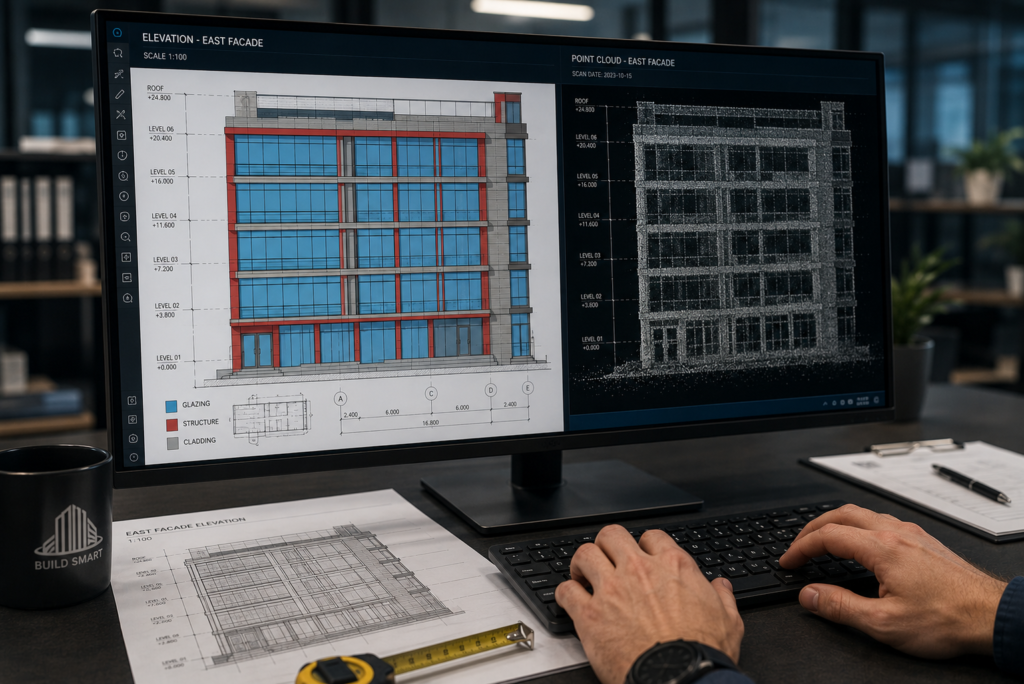
Scan-to-CAD workflows that extract accurate geometry from LiDAR and structured-light scans for as-built drafting.
Autodesk ReCap
Cyclone 3DR
CAD Conversion
PDF, raster, and legacy format conversion to editable DWG or DXF with geometric verification.
Able2Extract
PDF to DWG tools
GIS Integration
Geospatially referenced CAD drawings, CRS alignment, and CAD-to-GIS data exchange for engineering projects.
ArcGIS Pro
QGIS
BIM & 3D
BIM-to-2D drawing extraction, clash detection plans, and coordination drawing production for AEC projects.
Autodesk Revit
Navisworks
Automation Advantage
When you outsource CAD drafting, speed matters as much as quality. Our proprietary tools reduce repetitive tasks such as layer assignment, block placement, attribute population, and topographic symbol generation. This allows our engineers to focus on accurate drafting rather than manual setup.
The result is CAD drawing production that can be delivered up to twice as fast as standard manual workflows, while reducing opportunities for human error across large drawing packages.
J.O.T Complex Plugin
Professional AutoCAD and Civil 3D automation for survey data processing, topographic map generation, and bulk block and attribute management. Automates repetitive layer and symbol assignment across large drawing sets.
J.O.T AutoCAD AI Plugin
Describe what you need in plain language, and the plugin generates executable AutoCAD LISP code instantly. You can also attach a screenshot to refine the result. No scripting knowledge is required, and multiple languages are supported.
Custom Drafting Scripts
Project-specific AutoLISP and LISP routines that automate client-specific layer structures, title block population, and batch plotting. Built once and reused throughout the engagement.
PROJECT EXAMPLES
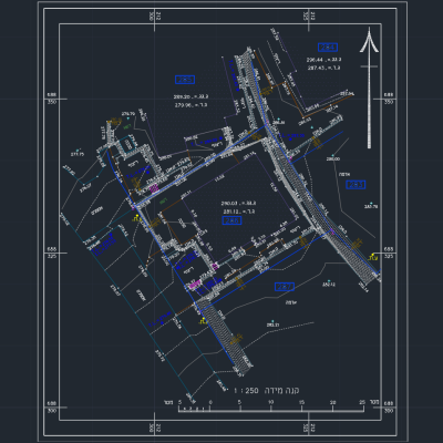
Selected outputs from completed projects covering CAD drafting, technical drawing production, and design documentation. All work was produced from client-supplied data.
Delivery Model
The case for outsourcing CAD drafting is straightforward. The key is choosing a partner that integrates into your workflow rather than adding another handoff.
Industries Served
Our CAD drafting and outsourcing services have been delivered across the most technically demanding engineering and construction disciplines worldwide.
Engineering & AEC
2D drafting services, as-built documentation, permit plan production, and construction-ready drawing packages.
Utilities & Telecom
Cable and pipe routing CAD drawings, network corridor documentation, and underground utility technical drawings.
Infrastructure & Transport
Road corridor drawings, interchange plans, bridge structure CAD documentation, and as-built transport maps.
Architecture
Architectural floor plans, facade elevations, section drawings, and CAD conversion from paper or PDF originals.
Oil, Gas & Energy
Pipeline routing drawings, facility layout plans, P&ID-compatible CAD documentation, and asset as-built packages.
Municipal & Planning
Site situation plans, zoning drawings, urban block CAD documentation, and permit submission packages.
Agriculture & Land
Field boundary drawings, irrigation layout plans, land parcel documentation, and cadastral CAD preparation.
Environmental
Environmental impact site plans, habitat boundary drawings, and monitoring infrastructure CAD documentation.
What You Receive
Every file delivered by our CAD drafting services is verified against your specifications, QA-checked, and formatted to drop directly into your project workflow.
2D CAD Drawings (DWG / DXF)
Precision 2D plans, elevations, sections, and details in AutoCAD-native format with your layer structure and titleblock applied.
As-Built Documentation
As-built plans and floor plans produced from scan, survey, or LiDAR data, construction-ready at 1:50–1:500 scale.
Permit Plan Packages
Engineering maps and technical drawing packages formatted for planning authority or building permit submission.
Converted CAD Files
Fully editable DWG files converted from PDF, raster, paper, and legacy formats, with geometric verification and CRS alignment.
Plot-Ready PDFs
Print-ready PDFs configured to your required paper sizes, scales, and layout structure. Ready for client review or regulatory submission.
Topographic Plans
Survey and LiDAR data converted into full topographic plans in Civil 3D. Includes contour lines, spot heights, TIN surfaces, and structured CAD layers.
CAD Data Packages
Block libraries, XREF-structured drawing sets, layer standards documentation, and CAD file indexes delivered with the final drawings.
FAQ
Get Started
Stop letting drafting bottlenecks delay your engineering deliverables. Our CAD specialists are ready to integrate into your pipeline and start producing drawings within two weeks — for clients across Europe, the UK, North America, and the Middle East.

Remote embedded GIS engineering services for global infrastructure operators. Office-based post-processing, deployed in 1–2 weeks.
GET IN TOUCH
PARTNERS
We’ll respond within 48 hours