
CIVIL ENGINEERING DOCUMENTATION
We produce complete road design documentation for civil engineering firms, construction companies, and municipal clients. Services include alignment design, road profiles, Civil 3D corridor models, cross-sections, earthwork volumes, and permit-ready drawing packages. All work is delivered remotely, with no field visits required.
Estimate within 48 hours
1-month risk-free trial
Onboarding in 1–2 weeks
COMMON PAIN POINTS
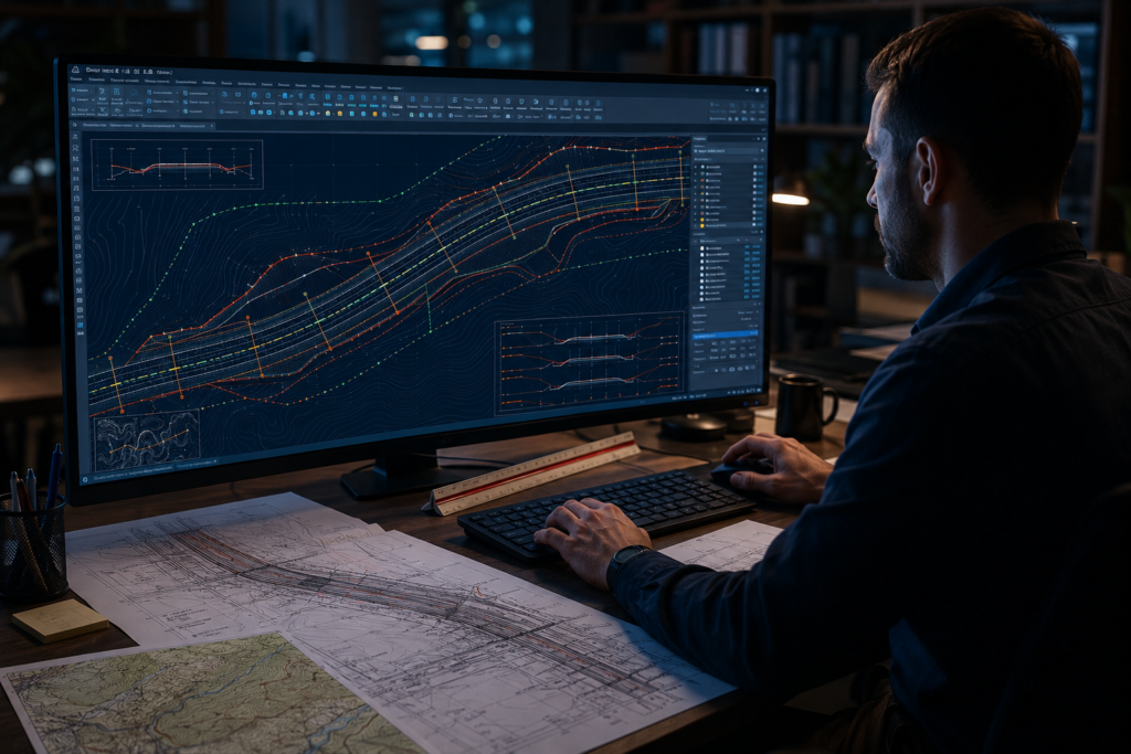
Civil engineering firms, construction companies and municipalities regularly run into the same problem: survey data exists, but producing permit-ready road design documentation from it requires specialist Civil 3D skill and capacity that most teams don't have in-house.
The LiDAR scan or topographic field survey is complete, but there is no Civil 3D engineer available to turn the data into a road design. The project is ready to move forward, but the required capacity is not available.
Construction cannot begin, and a building permit cannot be obtained, without a complete set of working drawings. Missing documentation can hold up the entire project timeline.
The road was constructed with deviations from the approved design. As-built road documentation is needed for handover, facilities management, or re-permitting, but there is no available capacity to produce it from the survey data.
Drawings delivered by a previous provider use the wrong design standard, incorrect layer naming, or a coordinate system that does not match the project. The drawings cannot be used and the work has to be redone.
A civil engineering firm wins a road construction or reconstruction contract but does not have in-house Civil 3D capacity for the documentation scope. Hiring for a single project is not viable. Outsourcing road design documentation is the only option.
Road design must coordinate with external lighting, electrical supply, landscaping, and utility networks. Without dedicated cross-discipline coordination, conflicts can surface late, delaying permits and increasing rework costs.
WHAT WE DO
Road design documentation is the complete set of engineering drawings and calculations required to build or reconstruct a road and obtain the necessary construction permits. It covers horizontal alignment with circular and transition curves, road profile design, a 3D corridor model with ditches and earthwork formation, cross-sections at the required intervals, earthwork volume calculations, working drawings, and the permit submission package. Without this documentation, construction cannot proceed. Builders have no approved drawings to work from, while the client cannot finalize costs, obtain permits, or plan material procurement.
We are a remote, office-based road design documentation team. We do not conduct field surveys or on-site scanning. You provide the source data, including a digital surface model (DEM or DTM), topographic survey in CAD format, cadastral plans with plot boundaries and red lines, and a project brief. We then produce the complete road design and permit documentation package. This makes our road design service a direct production extension of your survey or engineering workflow.
The process begins with the DEM and topographic plan. We design the horizontal alignment, including circular and transition curves for smooth vehicle flow, and establish the right-of-way boundaries. We then extract the existing ground profile and design the road profile. For new roads, elevations are set based on minimum fill requirements. For reconstruction projects and urban streets, the profile follows existing terrain while maintaining access elevations for adjacent buildings. The corridor is then built in Civil 3D, including pavement, shoulders, cut and fill slopes, and ditch geometry. Cross-sections are generated at the required intervals.
Road design is not a standalone discipline. Our engineers coordinate with adjacent project sections, including external lighting, electrical supply, drainage, landscaping, and urban greenery. Relevant coordination materials are included in the permit package. The submission package covers project documentation, area and quantity statements, and the materials required by the planning authority for construction approval. Deliverables can be produced to the required international or national standard, confirmed during the project briefing stage.
SERVICES INCLUDED
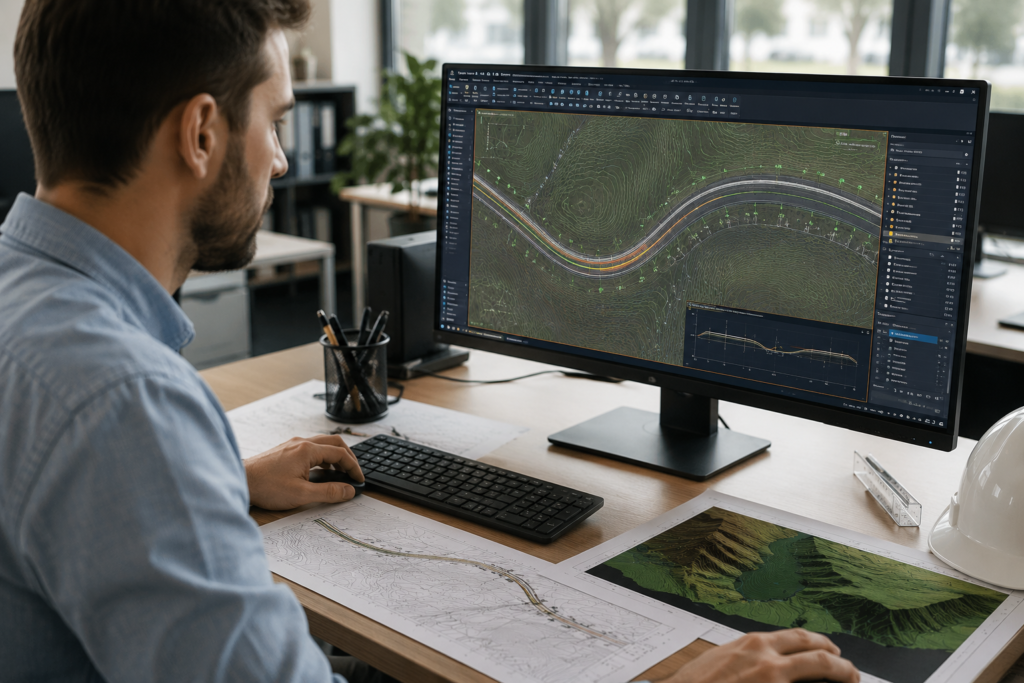
Six road engineering documentation services covering the complete workflow, from horizontal alignment and road profiles through to working drawings, earthwork volumes, and permit submission packages.
Route centreline layout in plan with circular and transition curves for code-compliant vehicle flow. Right-of-way boundaries set symmetrically. Alignment verified against cadastral limits, adjacent properties and existing infrastructure.
· Scale 1:500–1:1000
· Civil 3D
· AutoCAD
Ground profile extraction from DEM with road grade design. New roads designed from minimum fill height; reconstructions and urban streets match existing terrain while accounting for pavement structure and building access elevations.
· Vertical curves
· Civil 3D
· AutoCAD
Full corridor assembly in Civil 3D, including pavement structure, cut and fill slopes, ditch geometry, cutoff surfaces, and earthwork formation. The completed model provides visual confirmation that the road design avoids property boundaries and adjacent structures.
· Civil 3D
· DWG output
· Project-specific interval
Cross-section profiles are generated at the required intervals, with ditch depth analysis at every section. Precise cut and fill volumes are calculated by station and formatted for construction tendering, material procurement, and logistics planning.
· Volume report
· Civil 3D
· PDF + DWG
Complete engineering drawing set in AutoCAD: plan sheet, longitudinal profile, cross-section sheets, construction details and traffic organisation plan. Formatted and annotated to the applicable national road design standard.
· AutoCAD
· Plan 1:500
· Profile 1:200
Regulatory permit packages for planning permission and construction permit submission. Packages include project documentation, area and quantity statements, and coordination materials for adjacent utilities, lighting, and landscaping.
· All formats
· 1:500–1:1000
· PDF + DWG
TECHNOLOGY STACK
Our road engineering workflow is built on Autodesk Civil 3D, the industry standard for highway design, corridor modeling, and earthwork analysis. The workflow is supported by our proprietary JOT automation plugin.
SURFACE PROCESSING
Digital surface model import, cleaning and verification before alignment and profile design.
DESIGN
Horizontal alignment with circular and transition curves. Vertical profile and grade design.
3D MODELLING
3D road corridor — pavement, ditches, cut/fill slopes and formation surface generation.
QUANTITIES
Cut and fill volumes by station from corridor surfaces. Mass haul reports for construction tendering.
AUTOMATION
Working drawing sheet production, annotation and export — accelerated by JOT proprietary AutoCAD plugin.
PROJECT EXAMPLES
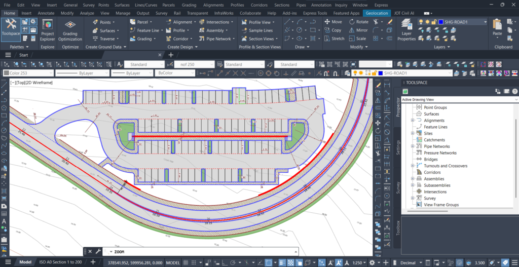
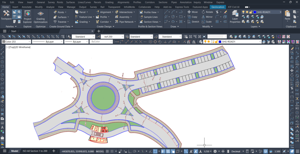
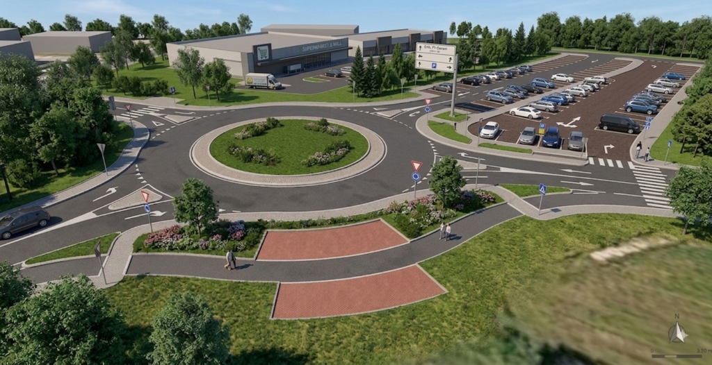
Selected outputs from completed road engineering documentation projects. All work was produced entirely from client-supplied survey data.
Why GIS JOT
Road design documentation from survey data requires a specialist Civil 3D workflow, not general CAD drafting. The difference is reflected in accuracy, standards compliance, and the ability to work directly from a digital surface model.
WHAT YOU RECEIVE
Every drawing from our road design services is geometrically verified against the source surface data, standard-compliant, and formatted to drop directly into your engineering, tendering or permit workflow.
Regulatory permit package for construction permit submission. The package includes project documentation, area and quantity statements, and coordination materials for adjacent utilities, lighting, and landscaping. Deliverables are produced to the required international or national standard.
FAQ
GET STARTED
Send us your survey data and project brief — DEM, topographic DWG, cadastral plan and design requirements. We will review and come back with a fixed-price estimate and delivery schedule within 48 hours.

Remote embedded GIS engineering services for global infrastructure operators. Office-based post-processing, deployed in 1–2 weeks.
GET IN TOUCH
We’ll respond within 48 hours